
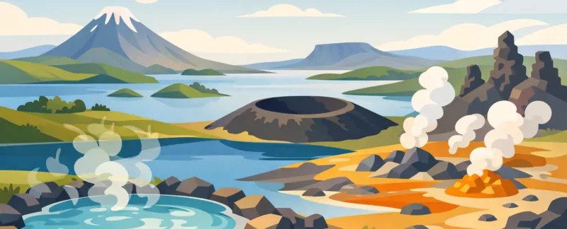
You do not need a geology degree to enjoy Mývatn, but the landscape makes a lot more sense once you know what you are looking at. A good lake myvatn geology guide helps turn a drive between viewpoints into a story about fire, water, ice, and time. Around the lake, nearly every stop is part of the same larger conversation between volcanic eruptions, shifting ground, and a very active geothermal system.
What surprises many visitors is how compact the area feels. In a fairly short distance, you can stand by a pseudocrater, walk through fresh-looking lava formations, look into an explosion crater, and smell sulfur rising from hot ground. That variety is one reason Mývatn is such a rewarding place to guide. The geology is not hidden away in a museum case. It is right there under your boots.
What makes Lake Mývatn geologically special?
Mývatn sits within Iceland’s Northern Volcanic Zone, where the earth’s crust is being pulled apart. Iceland exists because volcanic activity and plate movement meet here in a very direct way, and the Mývatn area shows that process unusually clearly. This is not just a scenic lake. It is a young volcanic landscape shaped by repeated eruptions, lava flows, groundwater explosions, and geothermal heat.
The lake itself and the surrounding wetlands are part of the story, but not the whole story. When people say they are visiting Mývatn, they often mean a broader volcanic region that includes Skútustaðagígar, Dimmuborgir, Hverfjall, Námaskarð, Krafla, and nearby lava fields. Each place looks different because each formed in a different way.
The useful thing to remember is this: not every crater here is a true volcanic crater, not every lava field is the same age, and not every steaming patch of ground is connected to the same event. That is where context matters.
Lake Myvatn geology guide to the main landforms
If you want the area to feel less like a set of disconnected stops, it helps to group the features by how they formed.
Pseudocraters at Skútustaðagígar
These are some of the most misunderstood features around the lake. They look like volcanic craters, but they are not vents where magma erupted directly from below. They formed when hot lava moved over wet ground or shallow water. The water flashed into steam, pressure built quickly, and the surface exploded.
That is why they are called pseudocraters, or rootless cones. They are real explosion features, just not fed by a central magma conduit. This matters because it tells you something about the older environment. Before the lava arrived, there had to be waterlogged ground here.
For visitors, Skútustaðagígar is also one of the best places to read the landscape gently. The shapes are easy to see, the walking is manageable, and the relationship between lake, wetland, and lava becomes very clear.
Lava formations at Dimmuborgir
Dimmuborgir often feels theatrical, and there is a reason. These lava formations were created in a way that leaves behind strange towers, arches, and collapsed cavities. The basic idea is that lava once pooled here, then partially drained away, leaving hardened outer structures standing like ruins.
People sometimes expect Dimmuborgir to be a chaotic pile of rocks, but it is more structured than that. The forms reflect how lava cooled, crusted over, and shifted as molten material moved underneath. It is a good example of how lava can create architecture without any human help.
This is also a place where imagination can run ahead of geology. Folklore fits naturally here. Still, the science is no less interesting. What looks like fantasy was built by very practical volcanic processes.
Hverfjall and explosive activity
Hverfjall is the large, near-perfect tephra cone that dominates the area. It formed in a powerful explosive eruption around 2,500 years ago. Unlike the pseudocraters at Skútustaðagígar, Hverfjall is a true volcanic crater.
Its shape tells you something important about the eruption style. Tephra cones form when magma is blasted into fragments and piled around the vent. The result is steep slopes made of loose volcanic material rather than solid lava. In dry weather the trail can feel dusty, and in wet or windy conditions it can feel more demanding than visitors expect.
From the rim, the area starts to come together. You can see how the lake basin, lava fields, and younger volcanic features all fit into the same active zone.
Geothermal ground at Námaskarð
Námaskarð is where the landscape feels alive in a different way. Instead of lava shapes and craters, you find steaming vents, boiling mud pots, sulfur deposits, and hot, chemically altered ground. The color palette shifts into rust, yellow, orange, gray, and white.
This is not an eruption site in the dramatic sense many people imagine. It is a geothermal area where hot fluids and gases rise through fractures in the earth. Those fluids change the rock chemically, which is why the ground can look soft, stained, and unstable.
It is one of the best places to show that volcanic regions do not go from eruption to silence. A lot happens in between. Heat remains underground, water circulates, and the surface keeps changing.
Krafla and rifting landscapes
Krafla gives you a broader look at how volcanism and tectonics work together. This is one of Iceland’s active volcanic systems, and the area saw a major episode of eruptions and ground movement in the late 20th century. Here you can see lava fields that are geologically very young, along with fissures and deformation linked to crustal rifting.
For many travelers, Krafla is where Iceland stops being an abstract lesson about plate boundaries and becomes real. The ground here has cracked, lifted, and opened in response to magma moving below the surface. That does not happen only in the distant past. In Iceland, geological change is ongoing.
How the Mývatn landscape was built
The simplest version is that the area was built in layers. First came the tectonic setting: a zone where the crust is being pulled apart. Then, over thousands of years, repeated volcanic events produced cones, fissures, and lava flows. Water and wetlands added another ingredient by interacting explosively with lava in places like Skútustaðagígar. Geothermal heat kept reshaping parts of the region long after eruptions ended.
Glaciation also belongs in the story, even if the volcanic features get most of the attention. Ice shaped the broader land before and between volcanic episodes. So when you look out over Mývatn, you are not seeing a single event frozen in time. You are seeing a landscape assembled in stages.
That is one reason guided interpretation can make such a difference. Without context, visitors may leave with a collection of impressive views. With context, they start to understand why one crater is circular and smooth, another is jagged, and another is not really a crater at all.
A practical lake myvatn geology guide for visitors
If geology is one of your main reasons for visiting, give yourself time instead of trying to rush every stop. The Mývatn area rewards slow observation. Light, weather, and even the angle you approach from can change how a landform reads.
Good footwear matters more than people sometimes think. Trails range from easy to moderately demanding, and loose volcanic material can be tiring underfoot. Wind can also change the feel of a short walk very quickly, especially on exposed rims and higher ground.
It also helps to know that smell is part of the experience. In geothermal areas, sulfur is normal. Some visitors love that reminder that the earth is active. Others are ready to move on after ten minutes. Both reactions are fair.
If you are traveling with children, older family members, or anyone with limited mobility, the area still offers plenty. The key is choosing stops carefully. Some sites provide strong geological payoff with very little walking, while others ask more from your knees and lungs. That balance is exactly where a private day can be useful, because not every group wants the same rhythm.
As a local guide born and raised near Lake Mývatn, I find that the best days here are not about checking off every landmark. They are about connecting the landscape in a way that fits the people in the vehicle. Some guests want the science in detail. Some want the big picture with room for stories and photos. Usually, the right day is somewhere in between.
Why geology changes the way you experience Mývatn
Once you understand the basics, the area becomes more than scenic. You start noticing cause and effect. The crater shape tells you about eruption style. The lava texture tells you something about cooling and movement. The steam tells you heat is still close to the surface.
That kind of understanding tends to slow people down in a good way. Instead of asking only, what is this place called, they start asking, what happened here? That is when Mývatn gets really interesting.
If you come with curiosity, the landscape does most of the talking. A guide simply helps you hear the story more clearly.